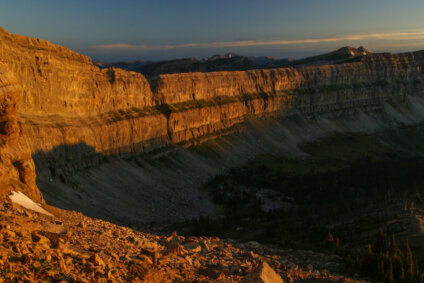
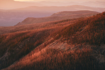
Wildlands of the Wild Divide: A Shared Vision for Protected Wild and Connected Public Lands
Wild Divide Chapter’s new map showcases the diverse landscapes of central Montana and our conservation vision for treasured wildlands

We hope that you are enjoying your new “Wildlands of the Wild Divide” map. After a long period of development, we were happy to get it in the mail. One inspiration for this project was to have a visual representation of our areas of interest to display at events we attend. Already we have heard from businesses and organizations that would like to display the map and help get the word out.
This map may be used to answer the frequently asked question, “What areas are you trying to protect?” With this in mind feel free to leave it sitting on your coffee table, take it with you on outings, and share it with others. We hope to enlist new members through this map, and we have recently surpassed the 500-member mark for the first time since 2020. However, the best outcome for this project will be to help create a growing community of citizens who share a vision for the protection of the wildlands in the Helena area.
While we’ve shared this map widely with members in our area and will continue to hand out the map at events, it is also available for purchase on Wild Montana’s online store.

Related Posts
Stay Connected
"(Required)" indicates required fields